How to Delete Fishing Points. save (56.67 MB)
Published by Bist LLC on 2024-08-09We have made it super easy to delete Fishing Points - Lake Maps account and/or app.
Table of Contents:
Guide to Delete Fishing Points - Lake Maps 👇
Things to note before removing Fishing Points:
- The developer of Fishing Points is Bist LLC and all inquiries must go to them.
- Check the Terms of Services and/or Privacy policy of Bist LLC to know if they support self-serve subscription cancellation:
- The GDPR gives EU and UK residents a "right to erasure" meaning that you can request app developers like Bist LLC to delete all your data it holds. Bist LLC must comply within 1 month.
- The CCPA lets American residents request that Bist LLC deletes your data or risk incurring a fine (upto $7,500 dollars).
-
Data Not Collected: The developer does not collect any data from this app.
↪️ Steps to delete Fishing Points account:
1: Visit the Fishing Points website directly Here →
2: Contact Fishing Points Support/ Customer Service:
- 88.89% Contact Match
- Developer: FishAngler, LLC
- E-Mail: support@fishangler.com
- Website: Visit Fishing Points Website
- Support channel
- Vist Terms/Privacy
Deleting from Smartphone 📱
Delete on iPhone:
- On your homescreen, Tap and hold Fishing Points - Lake Maps until it starts shaking.
- Once it starts to shake, you'll see an X Mark at the top of the app icon.
- Click on that X to delete the Fishing Points - Lake Maps app.
Delete on Android:
- Open your GooglePlay app and goto the menu.
- Click "My Apps and Games" » then "Installed".
- Choose Fishing Points - Lake Maps, » then click "Uninstall".
Have a Problem with Fishing Points - Lake Maps? Report Issue
🎌 About Fishing Points - Lake Maps
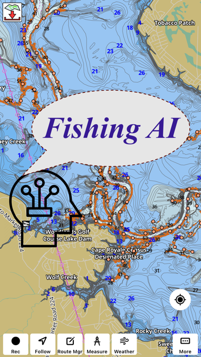
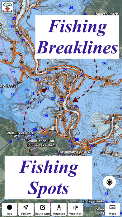
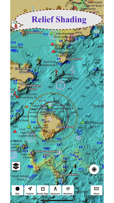
1. Coverage includes NOAA marine vector charts,freshwater lake maps,USACE inland river maps (HD/1ft/3ft bathymetry.
2. This App offers access to Fishing Lake Depth Maps & Marine Charts for USA, Canada (other regions coming soon).
3. √ Long press to query the details of Marine object (Buoy,Lights,Obstruction etc).
4. √ 1ft / 3ft depth contour maps for anglers for selected lake maps.
5. First marine GPS app to have route assistance with Voice Prompts for marine navigation.
6. √ Record tracks,Autofollow with real-time track overlay & predicted path vector.
7. You can create new boating routes or import existing GPX/KML routes.
8. √ Supports GPX/KML for boating route editing/import.
9. It supports Nautical Charts course up orientation.
10. PLEASE NOTE: Continued use of GPS running in the background can dramatically decrease battery life.
11. Includes Tide & Currents prediction.
12. * Export tracks/routes/markers as compressed GPX files.